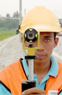
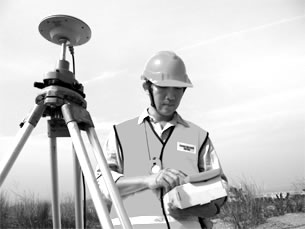
Mahyuddin & Siew provides all the professional land survey services for your land / property development projects such as:
Land Consulting and Title Surveys
for all types of land developments for the fulfillment of authority requirements and ultimately, for the issuance of titles so that ownership interest of the land is indefeasible.
> sample 1
> sample 2
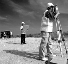
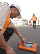
Engineering Surveys
for all land developments such as housing schemes, highway constructions, river improvements, pipeline constructions and emarcation of lot boundaries for special intentions.
> sample 1
> sample 2
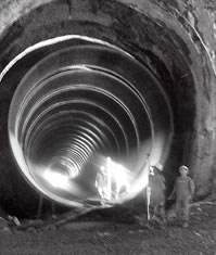
Setting-out Surveys
of buildings, piles and any other infrastructures prior to construction.
> sample 1
> sample 2
Hydrographic Surveys
for foreshore and seabed, rivers, lakes, wetlands, etc.
Underground Utilities Detection Surveys
for complete public underground utility identification and location without any physical excavation.
> sample 1
> sample 2
Aerial Photogrammetry
for the production of orthophoto maps for preliminary design work.
> sample 1
and more.
To see a track record of our past projects and clients list,
click here.
Contact us to set an appointment for a consultation.
click here.

